
The container's emissions out at sea,by standard. The truck at the dock, by measurement.
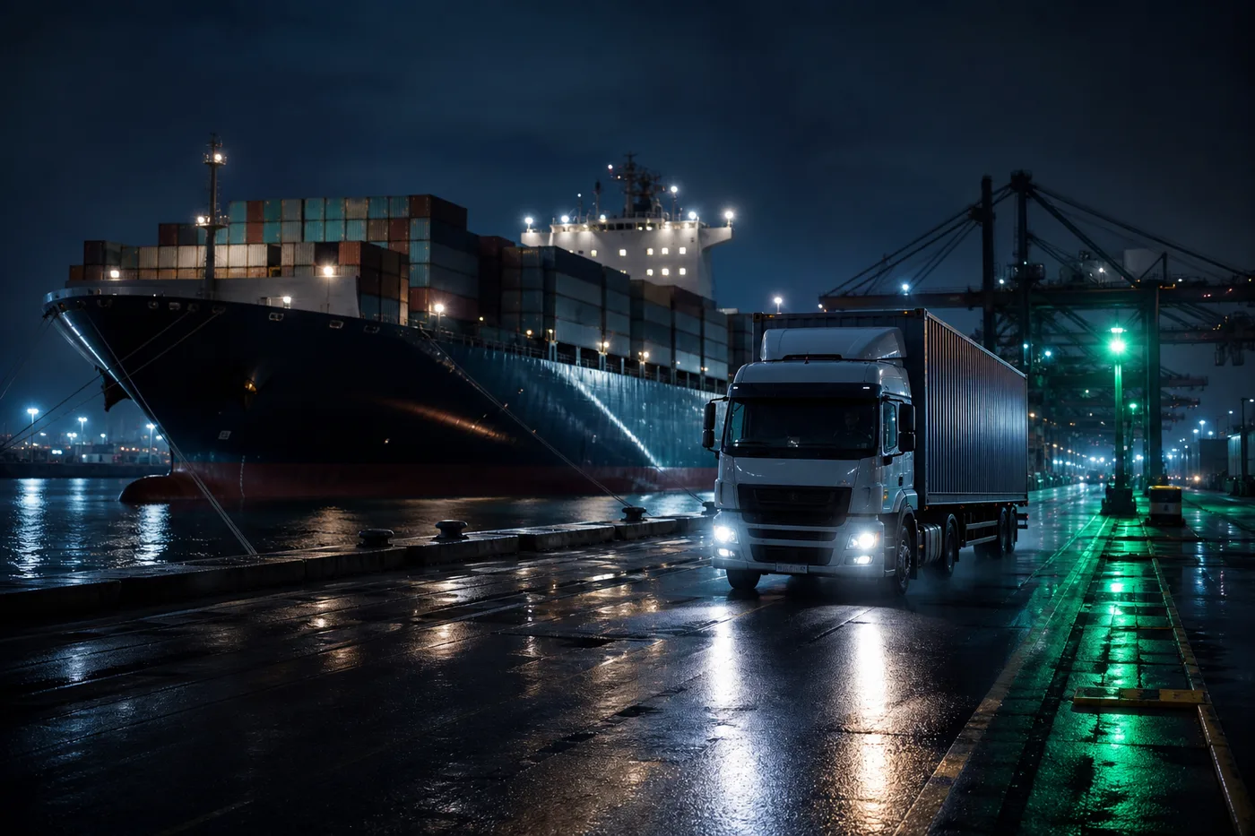
An overseas buyer has asked for a door-to-door carbon statement that includes the ocean leg.
- Sea and inland lumped into one average estimate
- Port drayage left out
- Blurred boundaries between modes
- Manual, imprecise ton-km allocation
- Sea leg calculated under the ISO 14083 standard
- Port drayage measured by DTG
- Consolidated door-to-door in a single method
- Clean per-mode boundary allocation
Here's how it fits your industry.
Sea and inland joined in one method — filling the door-to-door footprint.
The supply chain changes when shippers demand the carbon data.
Most transport emissions come from vehicles the shipper never drives. That data only turns from estimate to measurement when the shipper asks for it as a term of business.
Draw the boundary at paid freight
Only transport you paid a freight charge for is the correct boundary for a shipper's Scope 3 report. LCS draws that boundary cleanly — no gaps, no double counting.
Classify by measurement, not estimation
Instead of average factors, we use data measured directly at the vehicle, classified precisely by transport mode and leg. A single ISO 14083 method that passes verification.
Require it of subcontractors
When a shipper requires measured data as a term of contract, the whole supply chain shifts from estimate to measurement. The request is where change begins.
Don't make the ask alone.
As your partner, LCS gives you the grounds to require data from subcontractors — and gives them the tools to respond. We build the bridge to measurement between the shipper who asks and the carrier who answers.
The questions this industry asks most.
How is maritime transport carbon calculated under ISO 14083?
ISO 14083 and IMO calculate ocean transport on a ton-km basis. LCS calculates the sea leg with standard factors and carrier data, and measures the drayage — the inland road connecting to the port — with DTG at 1-second resolution, joining them door-to-door in one method.
Why is an average-factor-only calculation not enough for maritime?
An average that lumps sea and inland together often leaves out road legs like port drayage. When a door-to-door footprint is required, that gap shows. Measuring drayage at the vehicle is what makes the boundary clear.
What does LCS measure versus standard-calculate for maritime?
The deep-sea leg is hard to measure directly, so it is standard-calculated with ISO 14083 factors and carrier data. The drayage road legs before and after the port are measured at the vehicle by DTG, consolidating standard and measured data into one report.
How do we get maritime and drayage data?
Sea legs are consolidated from carrier and forwarder data via LCS API, while port drayage vehicles connect DTG to OBD-II for measurement. Every leg gets filled when the shipper requires a door-to-door statement by contract.
The ocean and the dock, in one report.
We assess your industry's transport carbon regulations and your path to measurement, together.